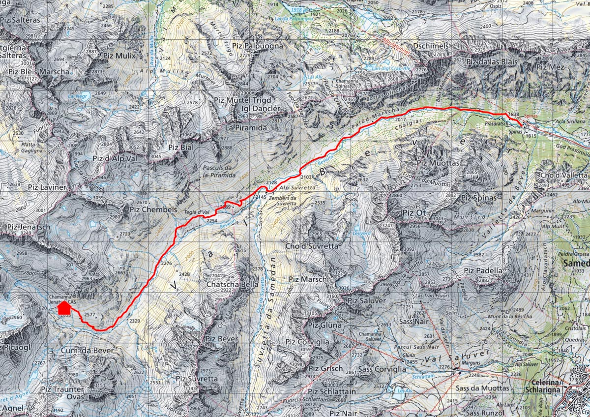
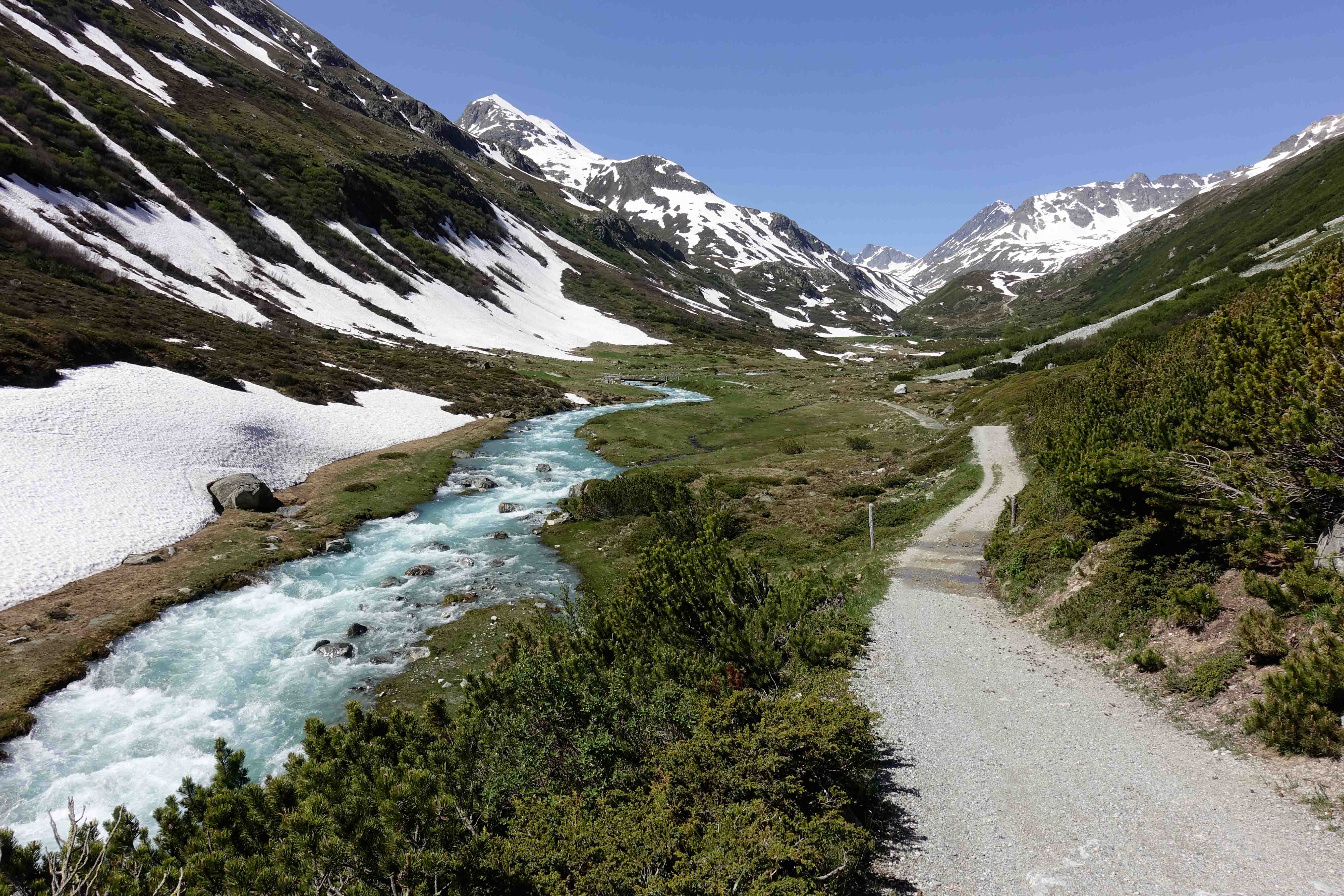
From Spinas to the Alp Suvretta, the route follows a small gravel road along the Bever. From Alp Val, the route follows an easy hiking trail to the hut.
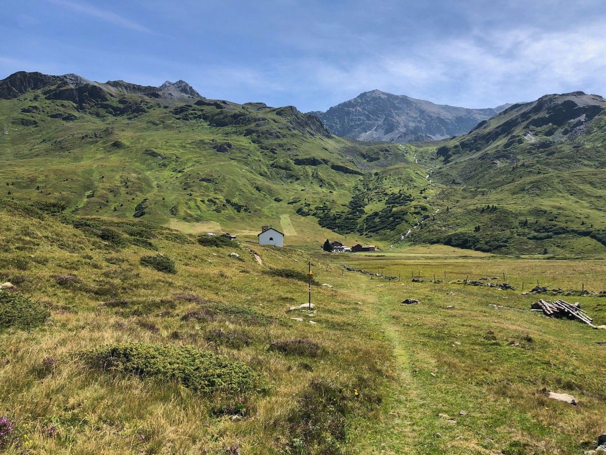
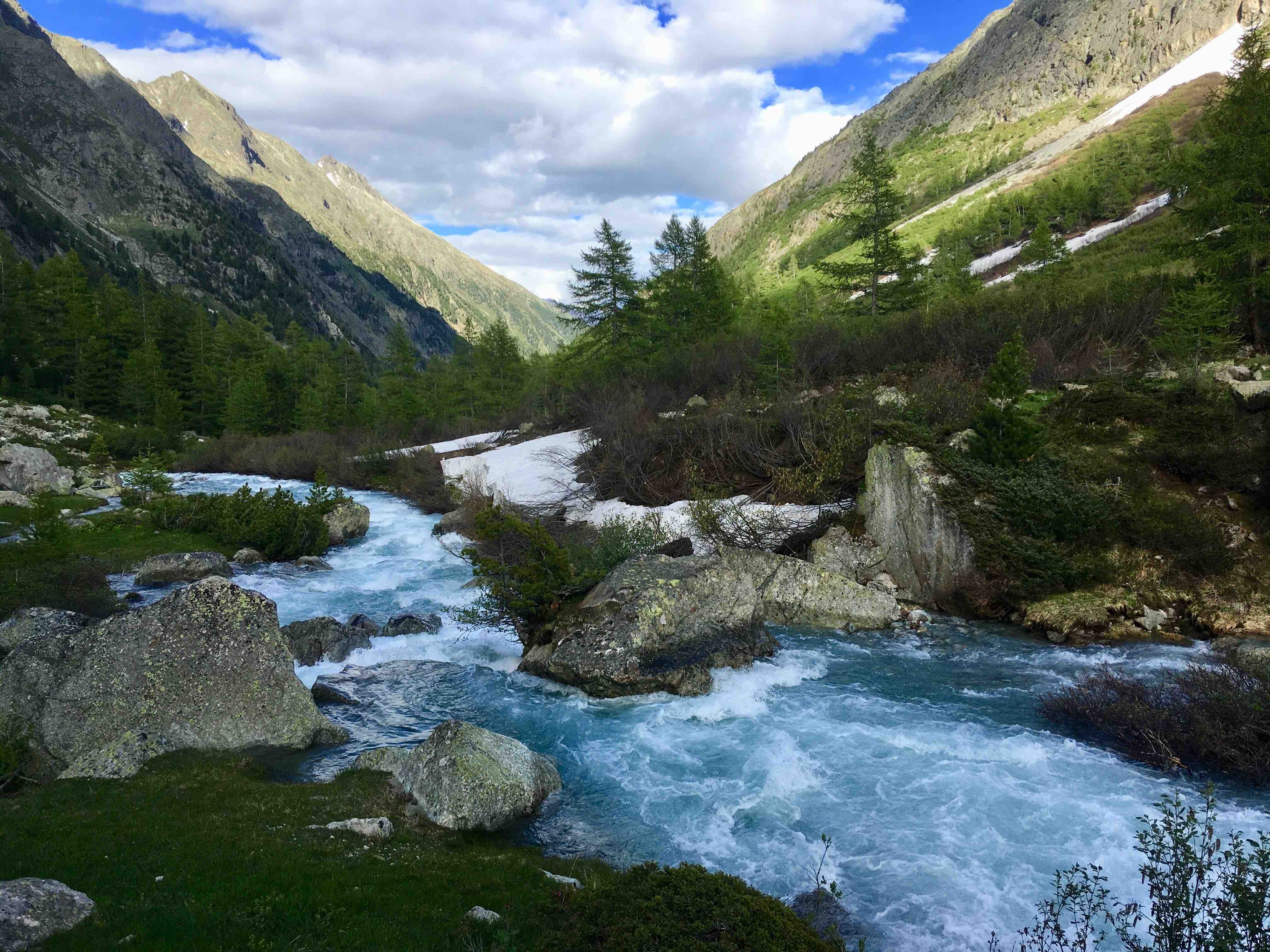
The Val Bever attracts visitors with its lush vegetation, the trail leads along the Bever, through Swiss stone pine and larch forests, past alpine meadows and many marmots. The Val Bever is particularly attractive in autumn colours.
This is the only path from the hut to the valley without an ascent and is therefore a good option for the descent.

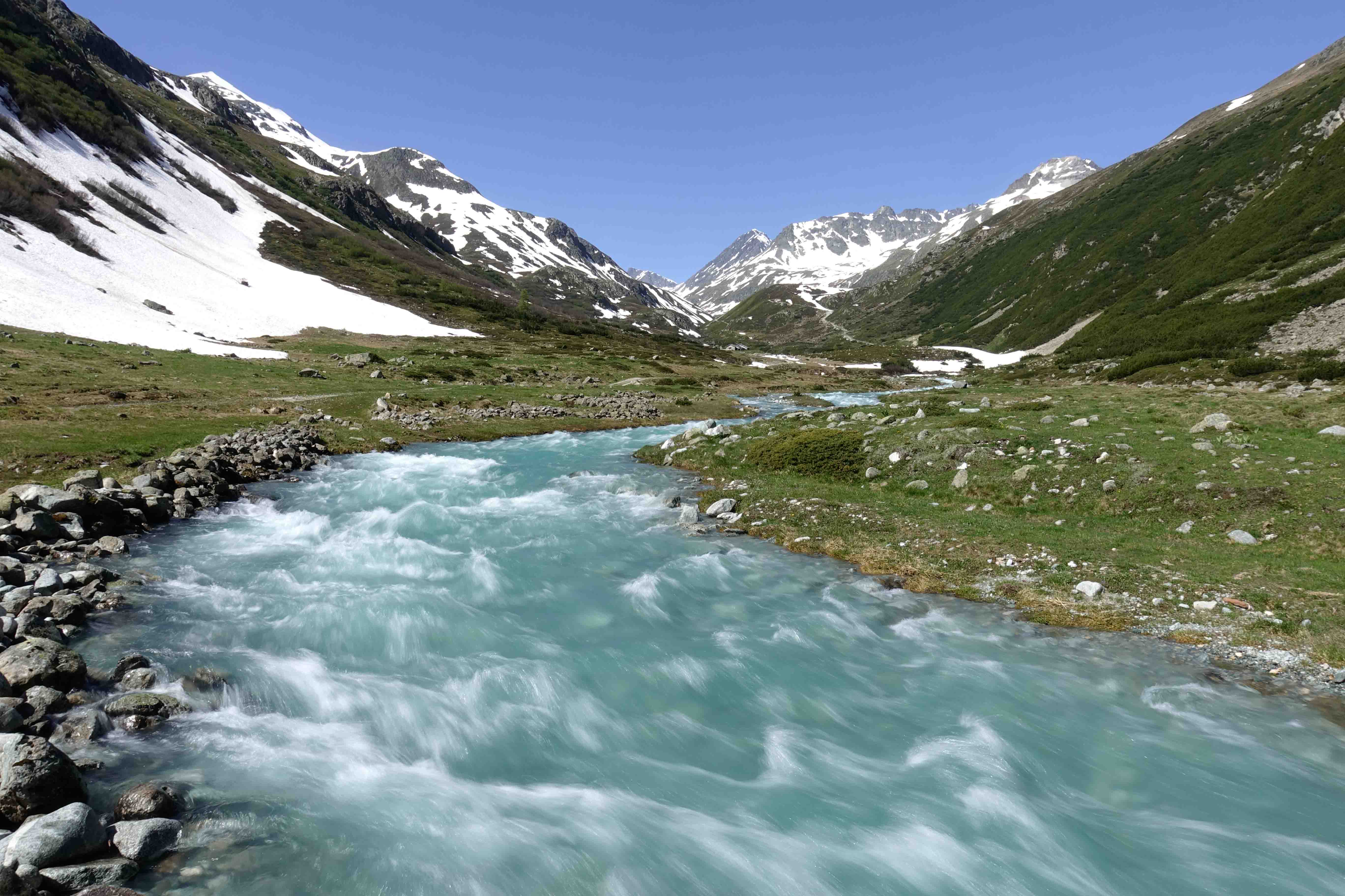
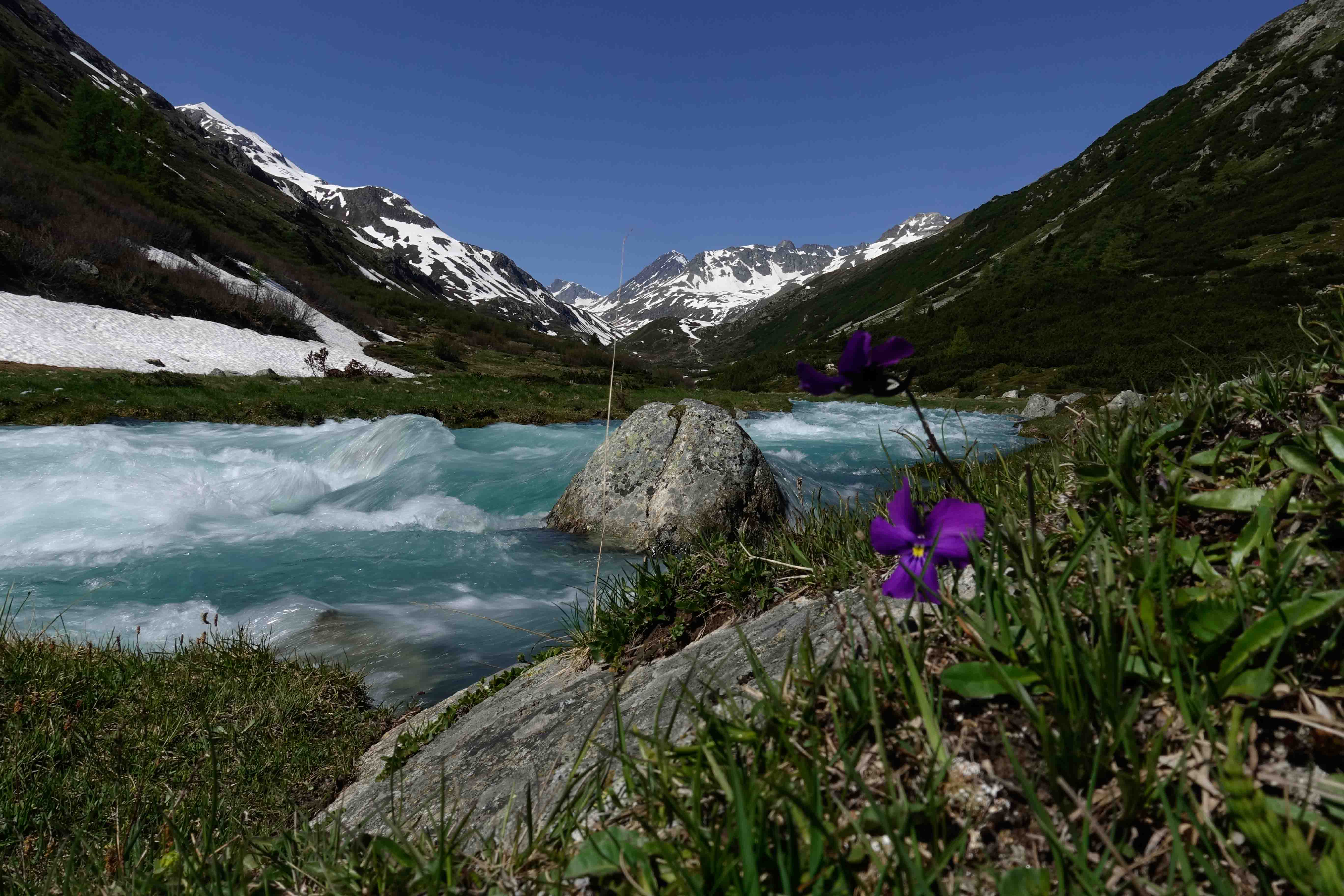
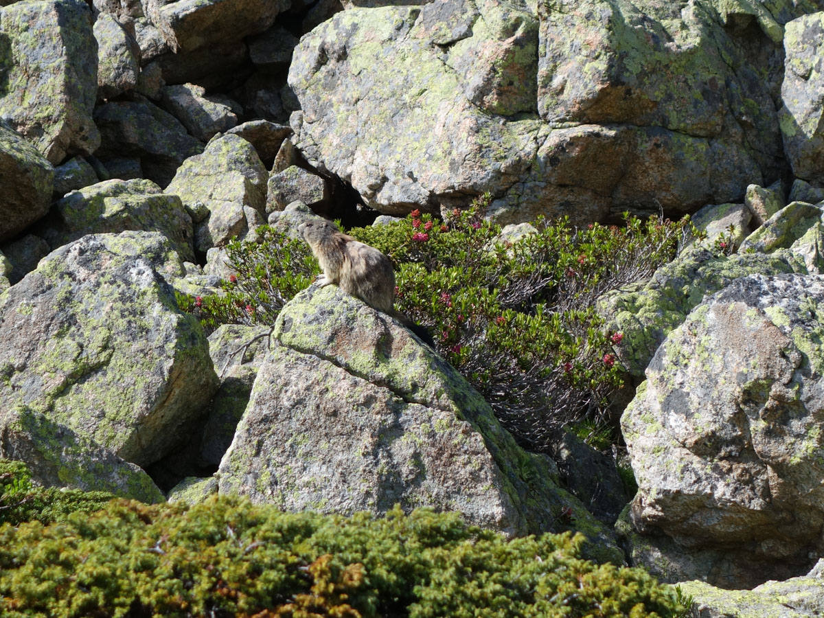
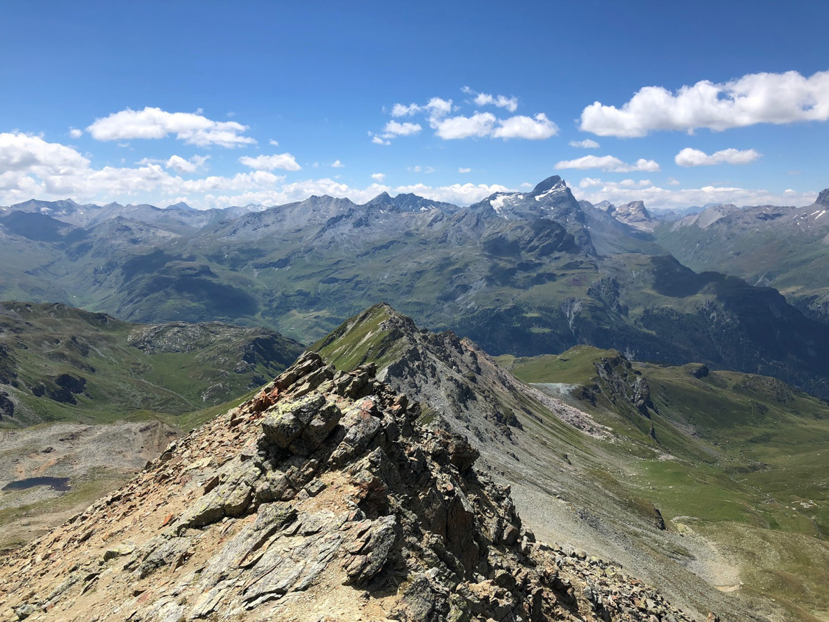
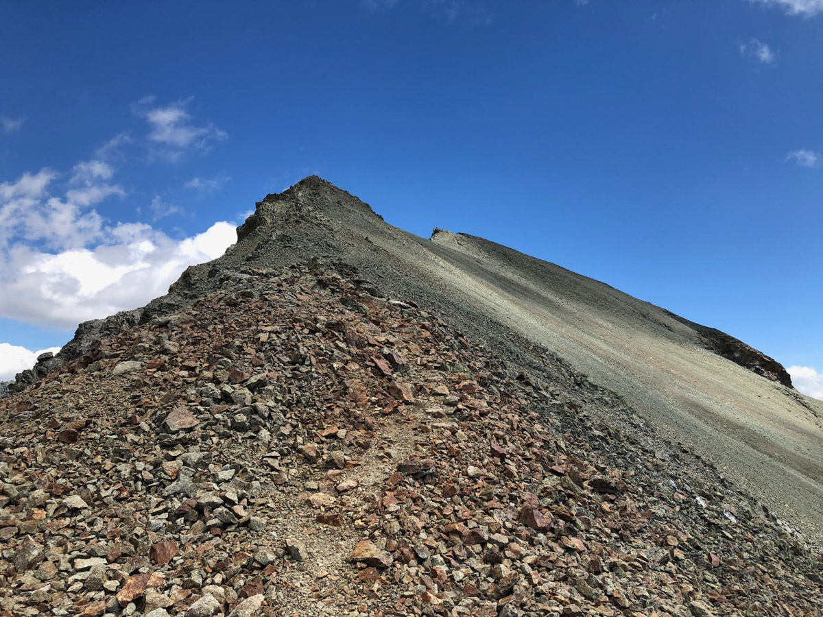
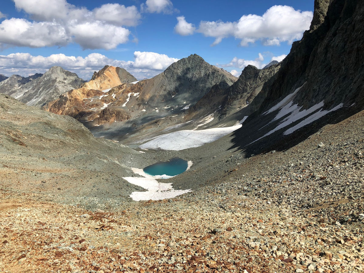
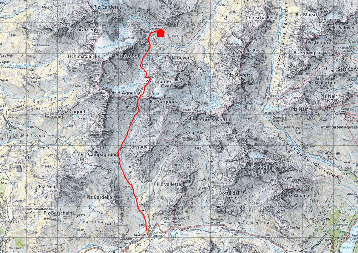
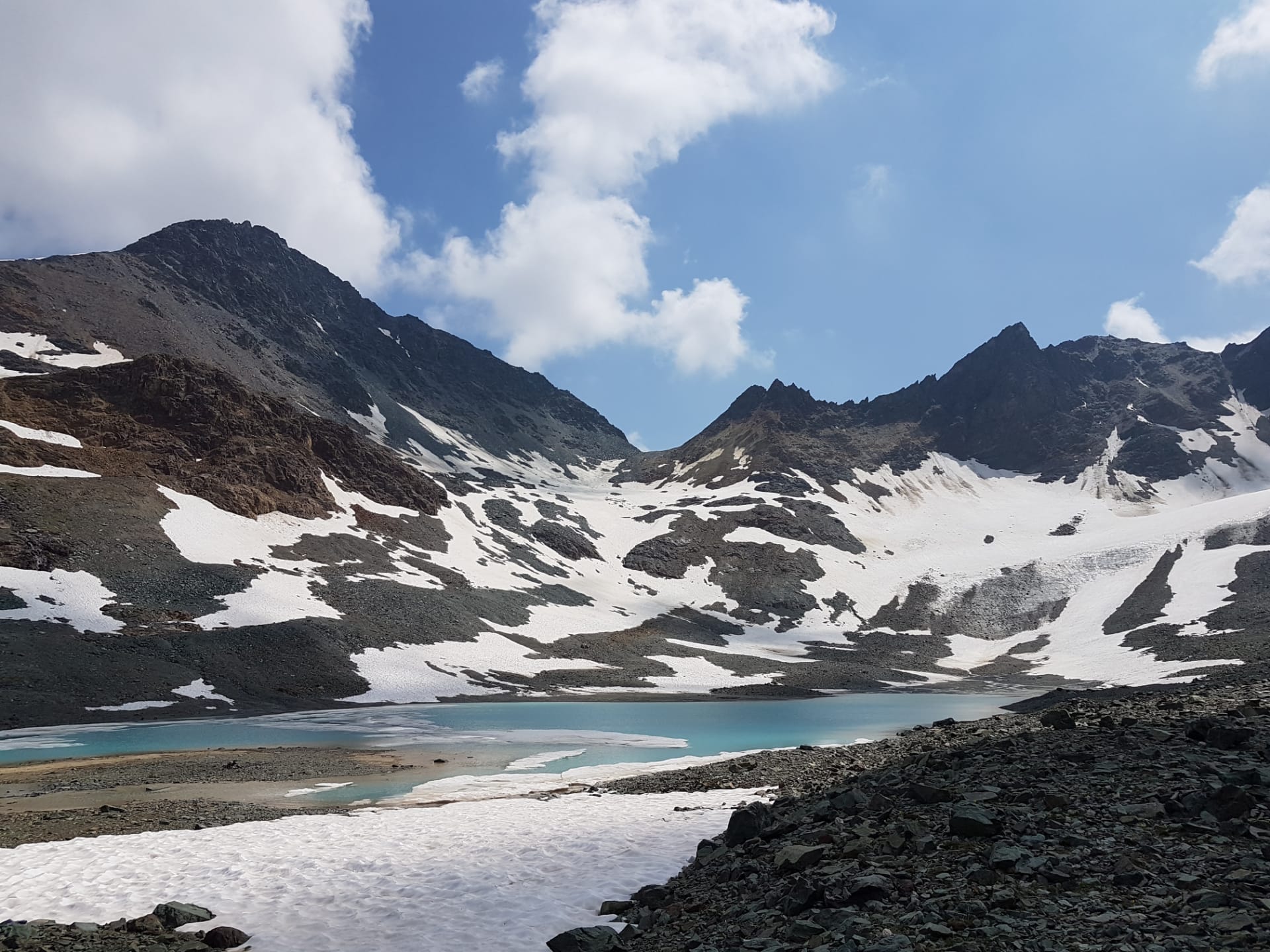
The hiking trail follows the entire Val d'Agnel up to Fuorcla d'Agnel. Initially, the trail leads across meadows and past countless marmots, then it becomes rocky and you can admire the varied geology with stones in a wide variety of colours and shapes. Steeper and flatter passages alternate. At the end, the trail climbs steeply up to the Fuorcla d'Agnel, which is always windy. From there you descend into the glacier foreland of the shrinking Vadret d'Agnel and hike past the small lake to the hut.
From the Albula Pass road, the route leads up past the Lais digl Crap Alv lakes to Fuorcla Crap Alv, then zigzags steeply down into Val Bever and continues on the normal route from Spinas to the hut.
Long tour with a lot of altitude difference, past the beautiful and lonely mountain lakes!
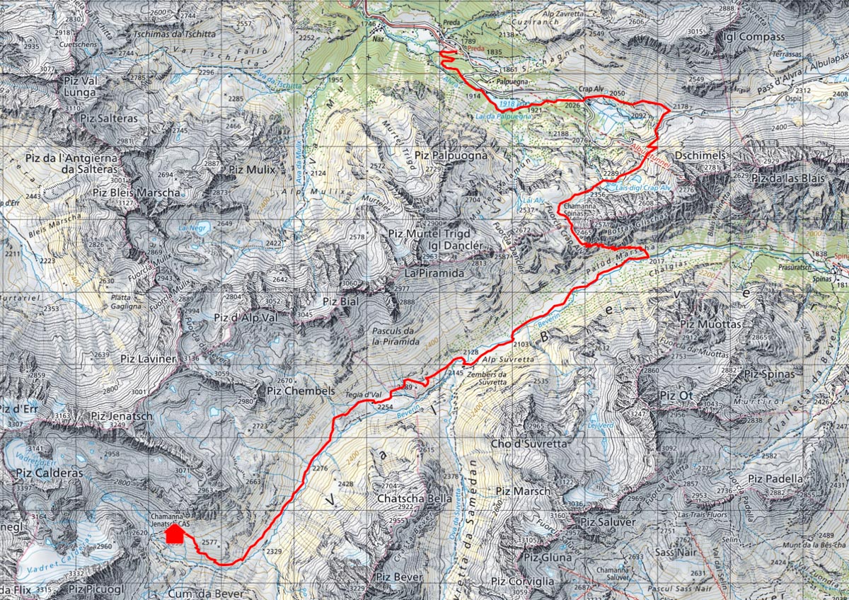
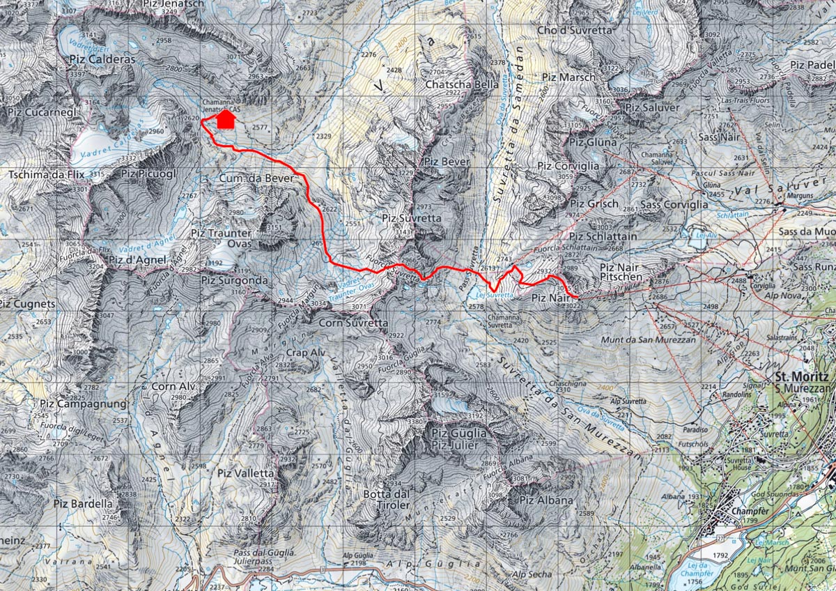
From the mountain station of Piz Nair, you descend in the shadow of Piz Güglia to Lej Suvretta. From there, the trail climbs about 400 metres back up to Fuorcla Suvretta before descending through the uppermost part of Val Bever back into the main valley. The trail crosses the large grassy flanks of the Traunter Ovas and finally climbs a few more metres to the hut.
If the option is used as a descent from the hut, you can descend from Lej Suvretta to St. Moritz.
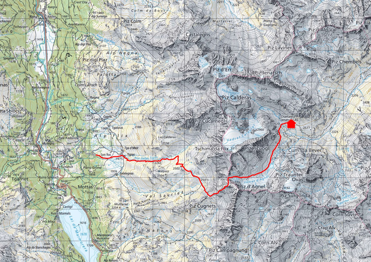
Alp Flix is known as a unique landscape with great biodiversity. If you choose this approach, you start in the idyllic setting of Alp Flix and climb up to the steep scree slopes of Piz d'Agnel. The mighty Piz Platta on the other side of the valley is always in view.
From Gasthaus Tigias, the route continues upwards on unmarked tracks past the Lai Blo. The path is steep in places, but not exposed. From Fuorcla da Flix, follow the track to the glacier lake and the hut.
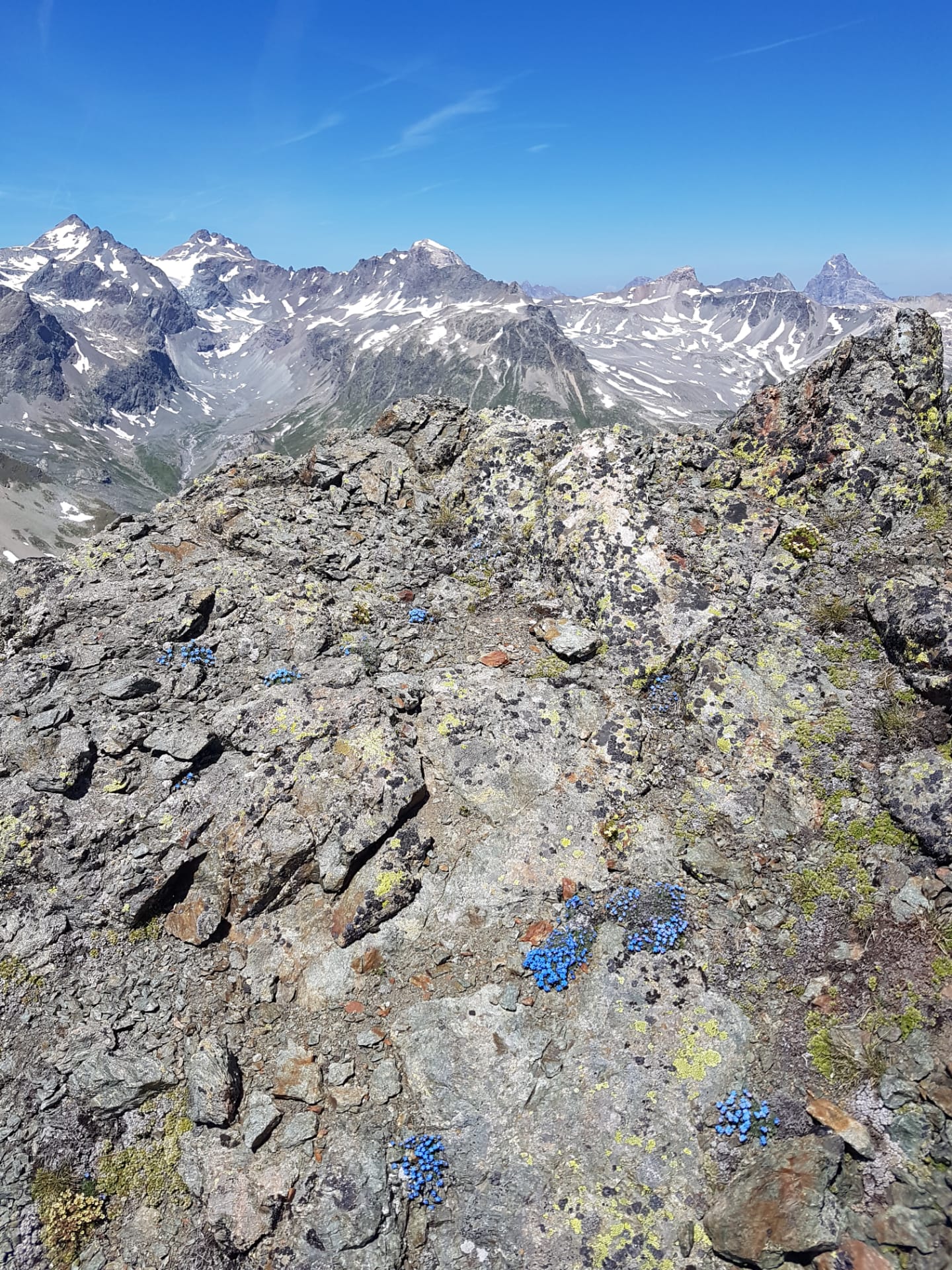
The Piz d'Agnel with its beautiful view beckons for another 150 metres of ascent.