Approaches in winter

The normal route in winter leads from the Julier Pass via Fuorcla d'Agnel to the hut. However there are some other options that can also be combined with a summit. On the ski touring map you will find the most important routes and below you find a small description and a few photos.

Attention!

In case of avalanche danger, when descending from Fuorcla d'Agnel after the plain (lake), please follow the large poles and DO NOT cross directly through the slope of Piz Picuogl! Descend to the east until you reach the stream and climb up again in a curve until you reach the hut. This takes a little longer, but you get to the hut safely!
In addition, there is a safer option right after the Fuorcla d'Agnel, so as not to cross the slope of the Piz Surgonda. This option leads after the first steep passage to the west and you traverse below the small group of rocks down to the glacier.

Direct option from Fuorcla d'Agnel during safe conditions, otherwise choose the safe blue route.

Source: Bundesamt für Landestopografie

With the private car

Please do not park the car at the Hospice La Veduta but in one of the car parks above/below.

Source: Bundesamt für Landestopografie

Julier Pass - normal route in winter

The route from Julier Pass is in winter the standard approach and with a clever choice of the route quite safe from avalanches.

Ascent: 1000 m, descent: 500 m
(direct route: 850 m / 350 m)
Time: 3 - 4 h
Difficulty: PD

From the parking on the road below La Veduta, follow the stream in alternating flat and steeper parts to a plain. If you want to extend your tour, you can do a side trip to the popular Piz Campagnung west of the route.
From the plain, the route rises to a shoulder and gently continues towards Fuorcla d'Agnel. The last part is quite steep and the pass is usually uncomfortably windy. Quickly peel off the skins and descend the north-facing slopes to the glacier lake. Follow the poles with a right turn at the end and descend to the river. From there, ascend up to the hut for about 100 m.
During safe avalanche conditions it is possible to traverse the slope below Piz Picuogl directly to the hut.

Piz Nair

By using the cable car to Piz Nair

Ascent: 650 m, descent: 550 m
Time: 2.5 – 3 h
Difficulty: PD+

Ein Skitourenticket zum Piz Nair, gibts nur wenn ihr bei uns übernachtet und auf Voranmeldung von uns. Also vorher bei uns melden, wenn ihr diesen Zustieg wählt.

With the cable car to Piz Nair and from there descend to the Suvretta valley. Climb of 350 meters to the Fuorcla Suvretta. From there on it is a nice descent through the upper part of Val Bever with a final ascent to the hut.

Julier Pass – via Piz Surgonda and Val Bever

Popular summit on the way to the hut. The descent through the upper Val Bever east of the Traunter Ovas often offers nice powder! This compensates for the ascent to the hut afterwards.

An alternative option is the route 242 (ski touring map), descending the west slope of Traunter Ovas directly to the hut.

Ascent: 1250 m, descent: 800 m
Time: 4 – 5 h
Difficulty: PD

Winter 2023/24: Durch den starken Rückgang des Gletschers , ist der Abstieg vom Grat auf den Gletscher deutlich steiler geworden. Steigeisen und/oder Pickel sind empfehlenswert. Eine neu installierte Sicherungsstange kann zum Abseilen benutzt werden. Winterfotos von Silvester 2022, Fotos der Sicherung September 2023.

From the parking on the road below La Veduta, follow the stream in alternating flat and steeper parts to a plain.
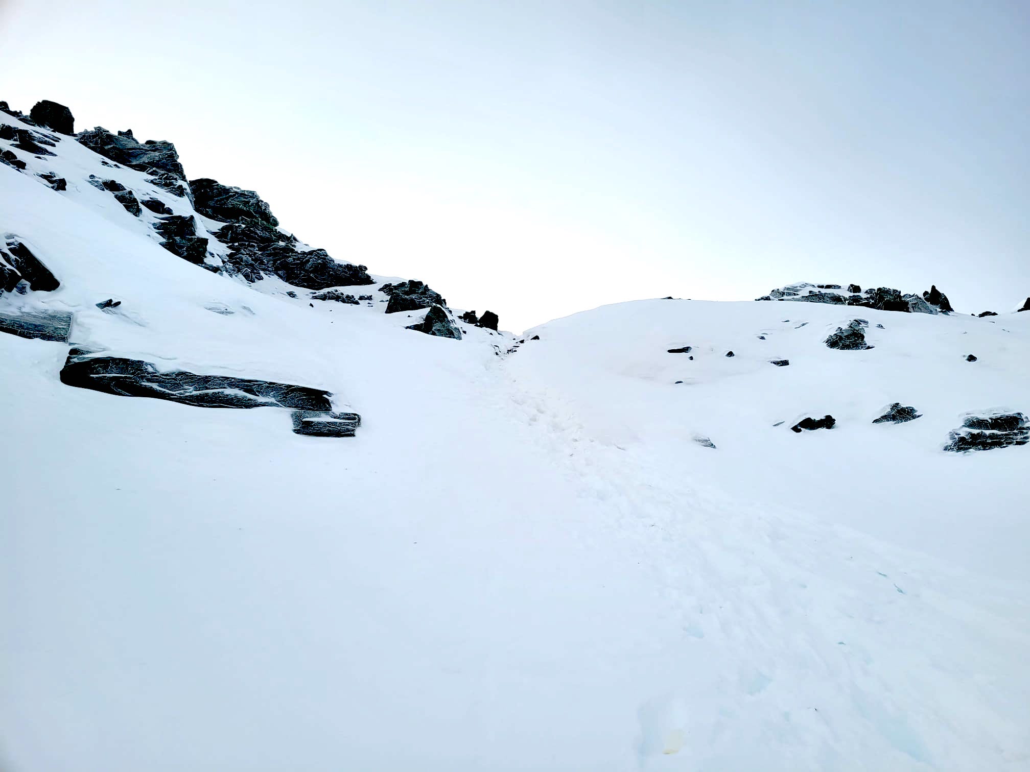
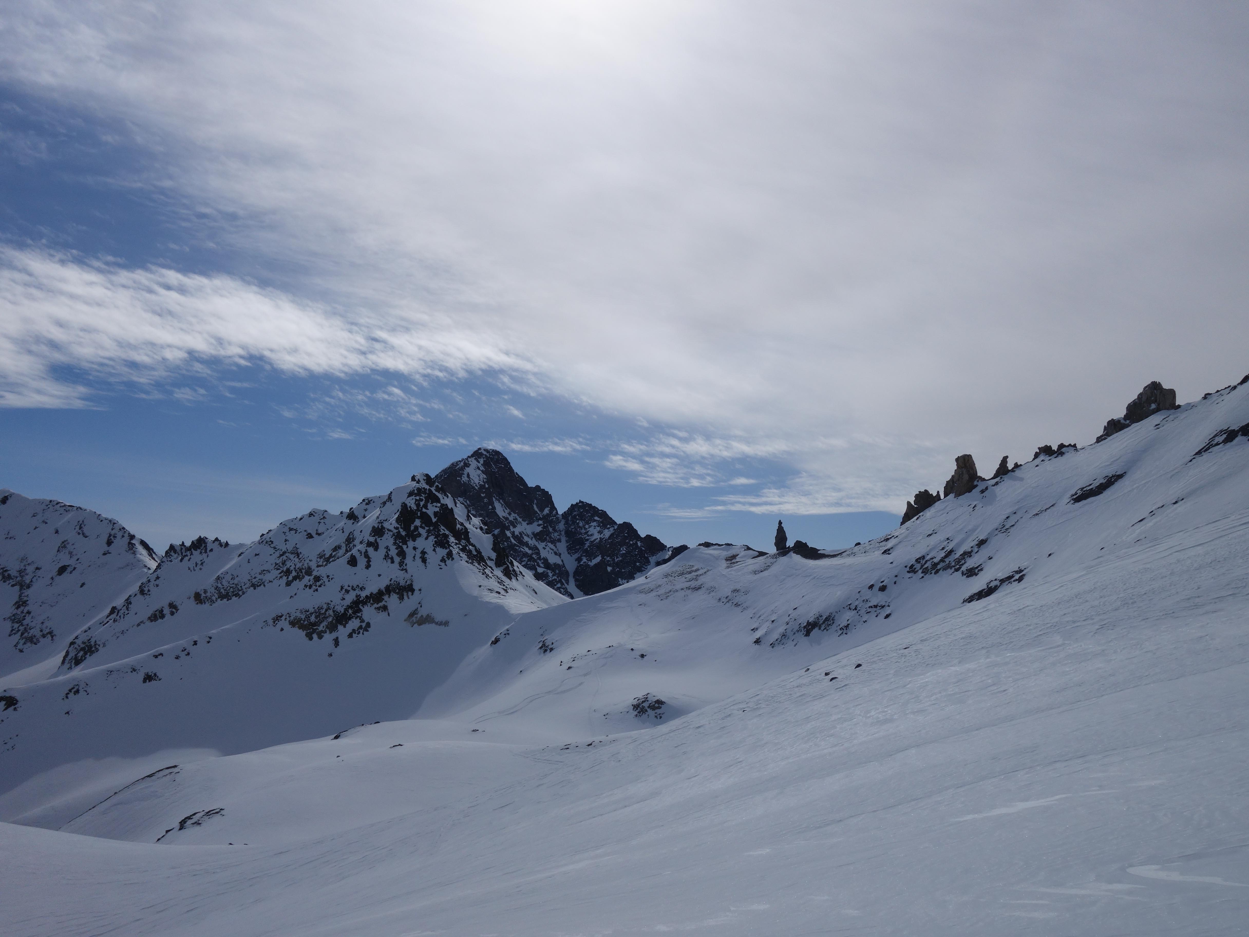
From the plain, climb up to the shoulder, keep to the right and climb south up to pt 2820 and pt. 2911. Follow the ridge to the summit flank. For the remaining meters, the skis must be carried depending on the snow conditions.

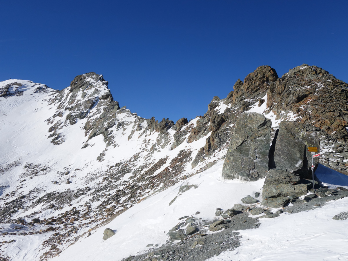
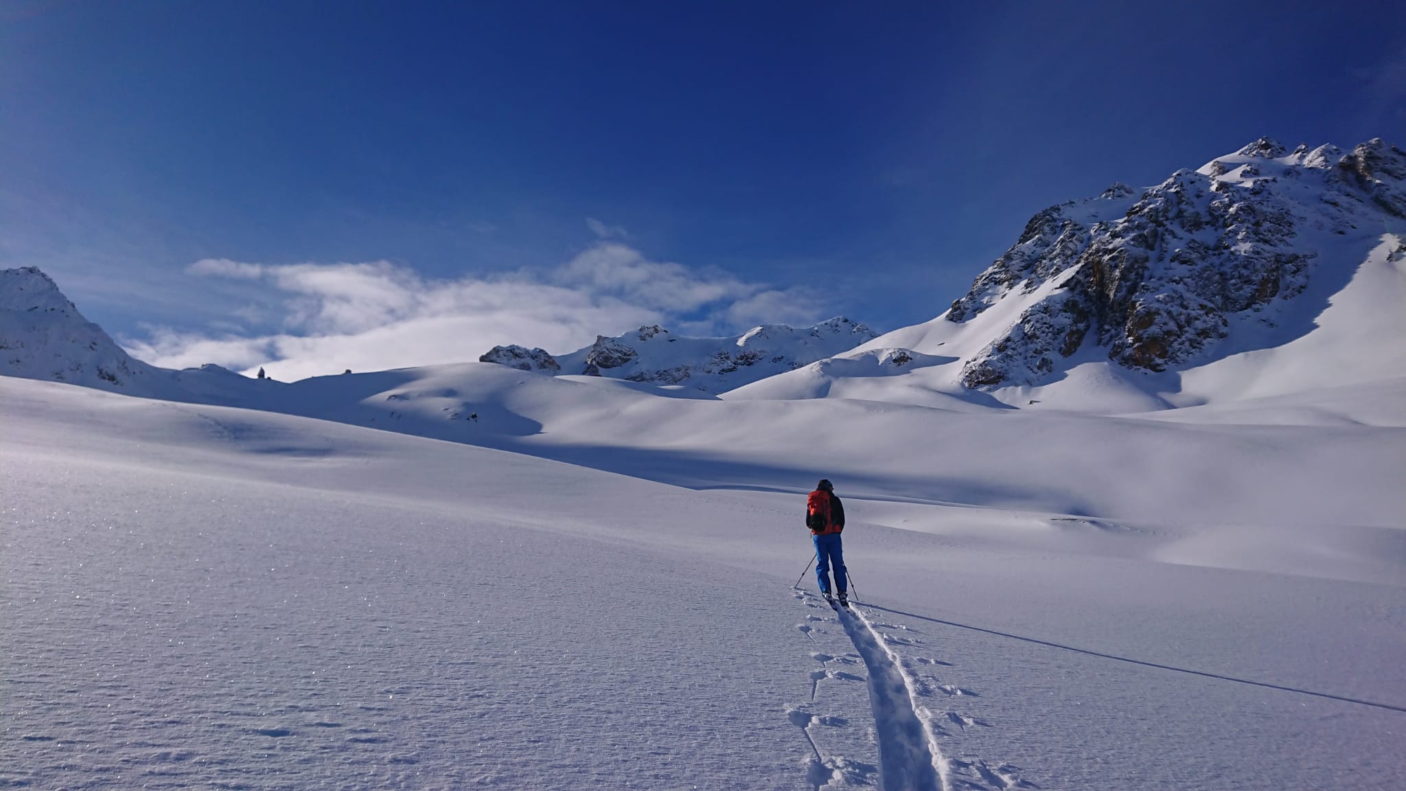
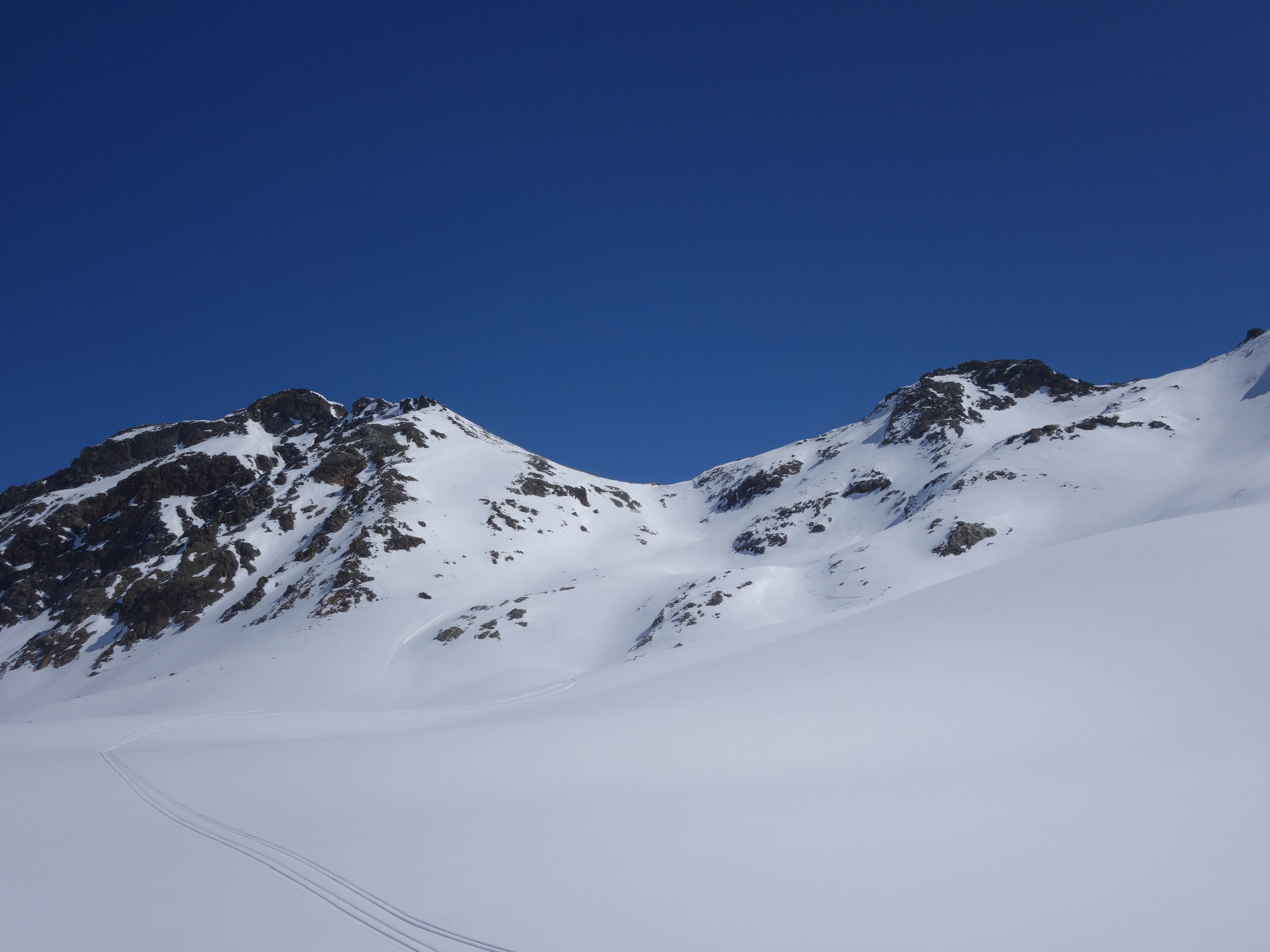
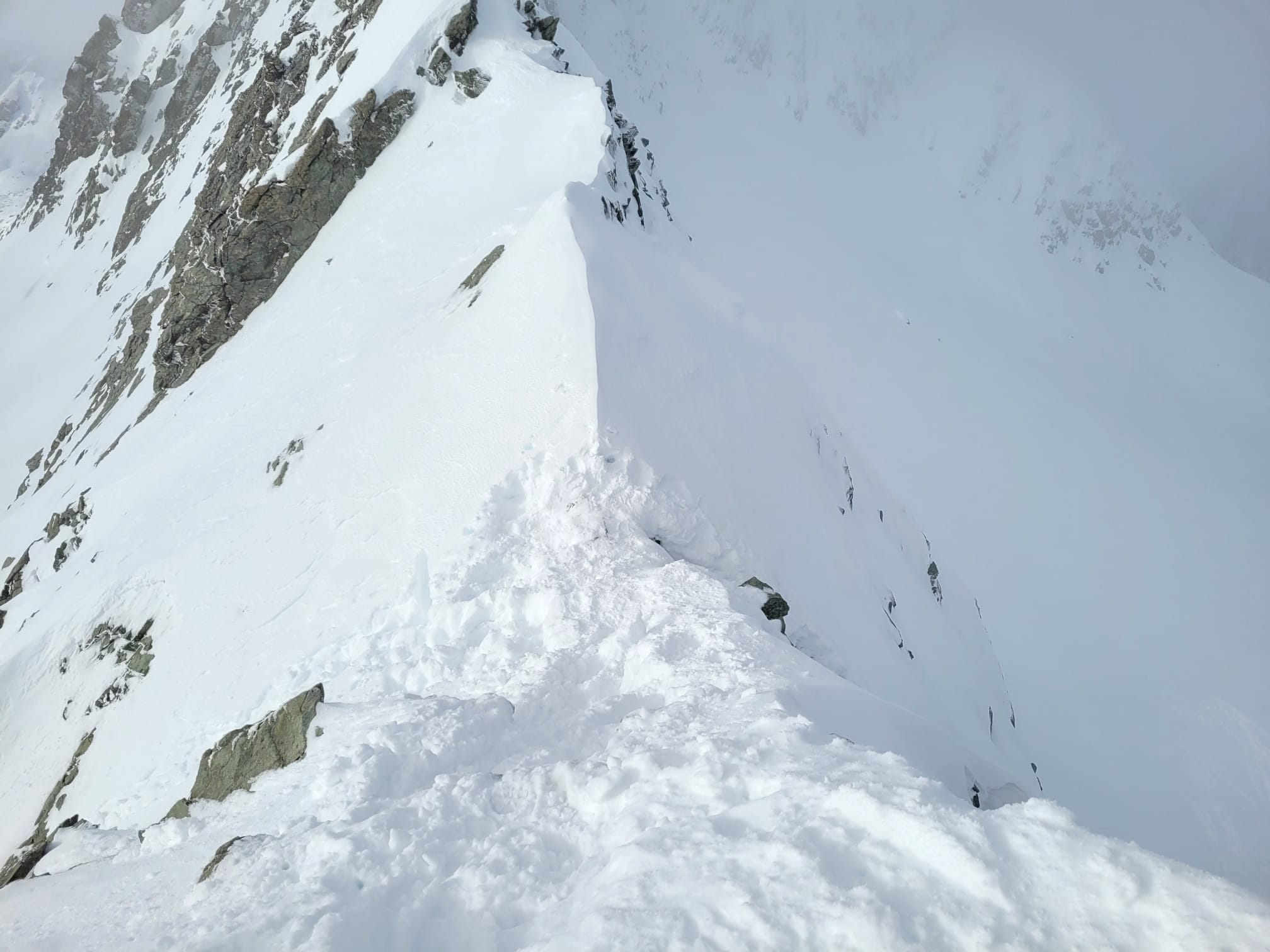
Vom Gipfel her folgt ebenfalls eine kurze Tragpassage dem wenig schwierigen Grat entlang nach Westen. Eine kurze Steilstufe führt bis auf den Gletscher. Nun folgen oft perfekte Pulverhänge bis runter ins Val Bever. Von dort muss man nochmals anfellen und zur Hütte aufsteigen.


Alp Güglia – via Fuorcla Margun

Rarely visited route, since in good conditions the way via Surgonda is more exciting and in bad conditions, the Fuorcla d'Agnel is more direct.

From the Alp Güglia through the Valletta dal Güglia over the Fuorcla Margun, then descend into the upper Val Bever and ascend to the hut.

The rock formations are a nice photo subjects ;-)

Spinas
The approach from Spinas is rarely done in winter.

From time to time the route is used as a descend from the hut, but due to the flat inclination, it is not recommended. There is also a high avalanche risk from the large side slopes in Val Bevers.

Preda via Val Mulix / Piz Laviner

This route is often used as a descent to Preda and is part of the Graubünden Haute Route as a stage from the Chamanna Jenatsch to Chamanna d'Es-cha.

from Naz:
Ascent: 1400 m
Descent: 500 m
Time: 5-6 h
Difficulty: AD-

The traverse around pt 2671 can be tricky. Attention: South inclination and risk of falling!