Tours in winter

The Jenatsch region offers many different tours.
Most tours are quite short, but it's also possible to combine 2 peaks.
On the day of arrival you can visit Piz Surgonda on the ascend to the hut and on the descend to Preda you can climb Piz Jenatsch or Piz Laviner. There is something for everyone in terms of difficulty and also with snowshoes you can experience enjoyable days around our hut.

Piz Surgonda, 3195 m

Beautiful panoramic mountain, which is often combined with the approach to the hut (see winter approach). The eastern summit is mostly visited.

From Jenatsch hut:
Ascent: 600 m
Time: 2.5 h
Difficulty: PD

Winter 2023/24: Durch den starken Rückgang des Gletschers , ist der Abstieg vom Grat auf den Gletscher deutlich steiler geworden. Steigeisen und/oder Pickel sind empfehlenswert. Eine neu installierte Sicherungsstange kann zum Abseilen benutzt werden. Winterfotos von Silvester 2022, Fotos der Sicherung September 2023.

Von der Hütte quert man bei sicheren Verhältnissen den Hang unter dem Piz Picuogl, ansonsten fährt man ca. 100 Höhenmeter ab bis zum Bach und steigt den Stangen entlang bis zum Gletschervorfeld des Vadret d’Agnel auf. Hier biegt man links ab und steigt zwischen Felsen zum Gletscherplateau des Surgonda auf. Auf dem Gletscher steigt man gemächlich an bis zum Verbindungsgrat zwischen Ost- und Westgipfel. Die letzten Höhenmeter geht es zu Fuss zum Grat. Meistens wird der Ostgipfel besucht. Über den Grat in einfachem Fussaufstieg zum Gipfel.
Wer retour zur Chamanna Jenatsch will, kann anstatt auf gleicher Route, durch das obere Val Bever abfahren und ca. 200 m wieder zur Hütte aufsteigen. Die oftmals guten Schneebedingungen entschädigen für den Gegenanstieg 😉

Fotos Gratstelle

Piz Calderas, 3397 m

The highest in our area with a fantastic view, and still quite easy to reach.

Ascent: 750 m
Dauer: 3 h
Difficulty: PD+

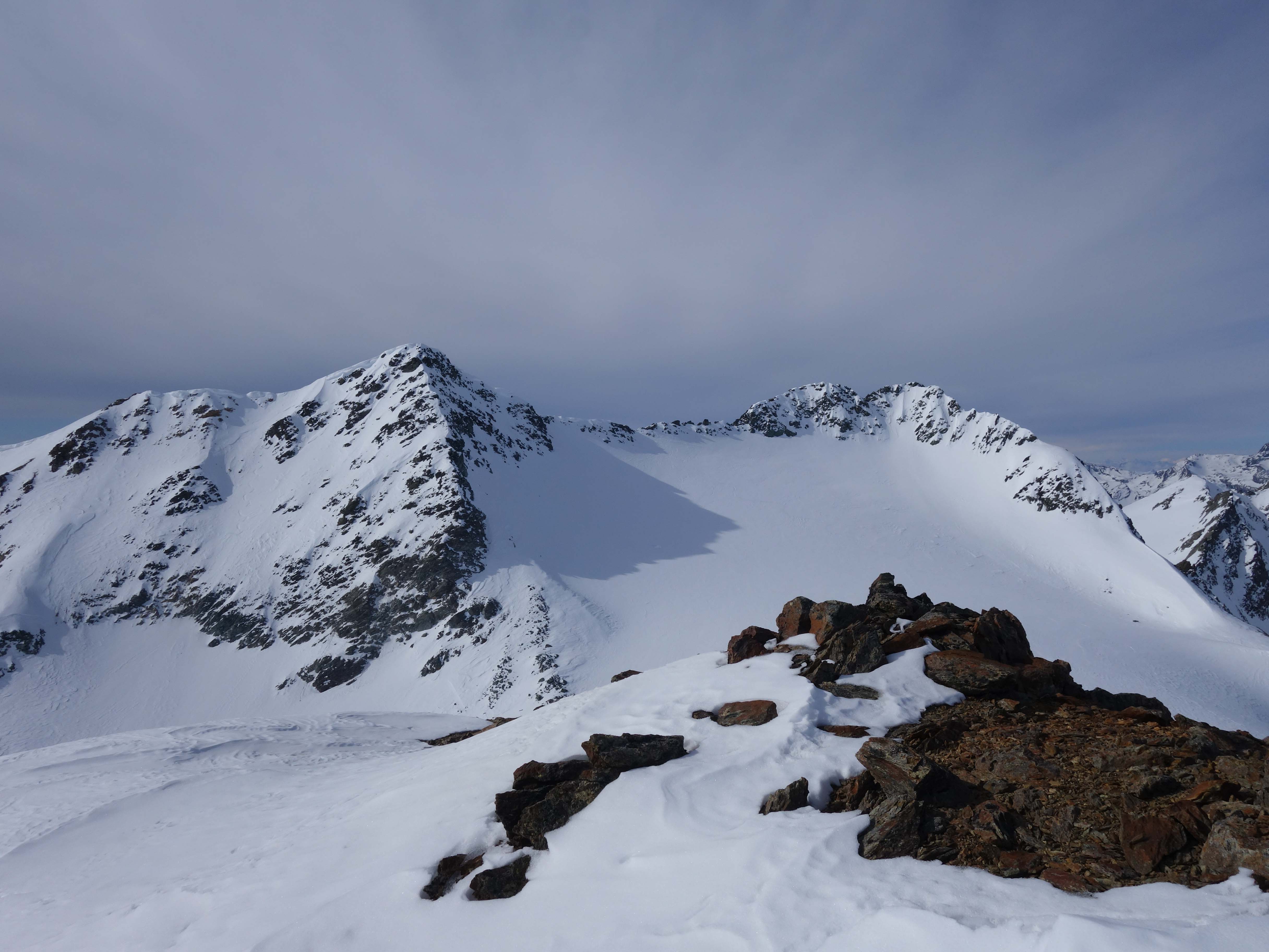
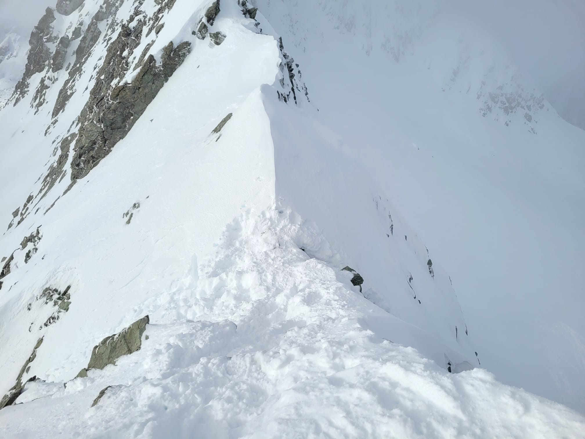
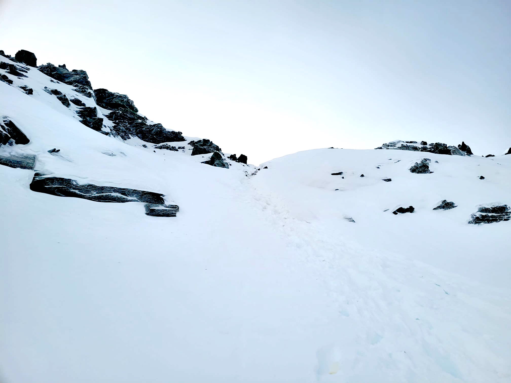
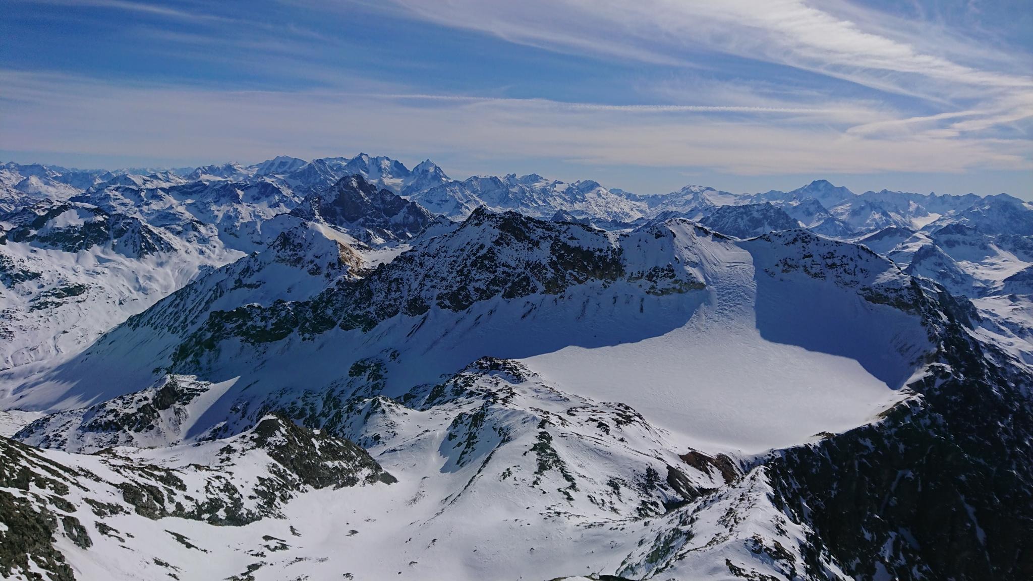
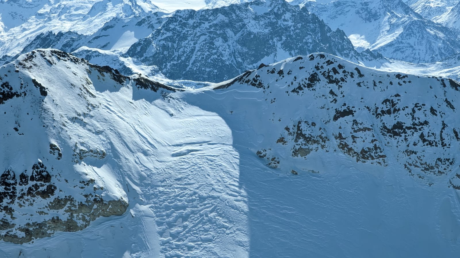
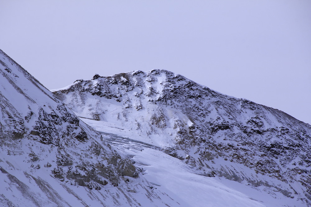
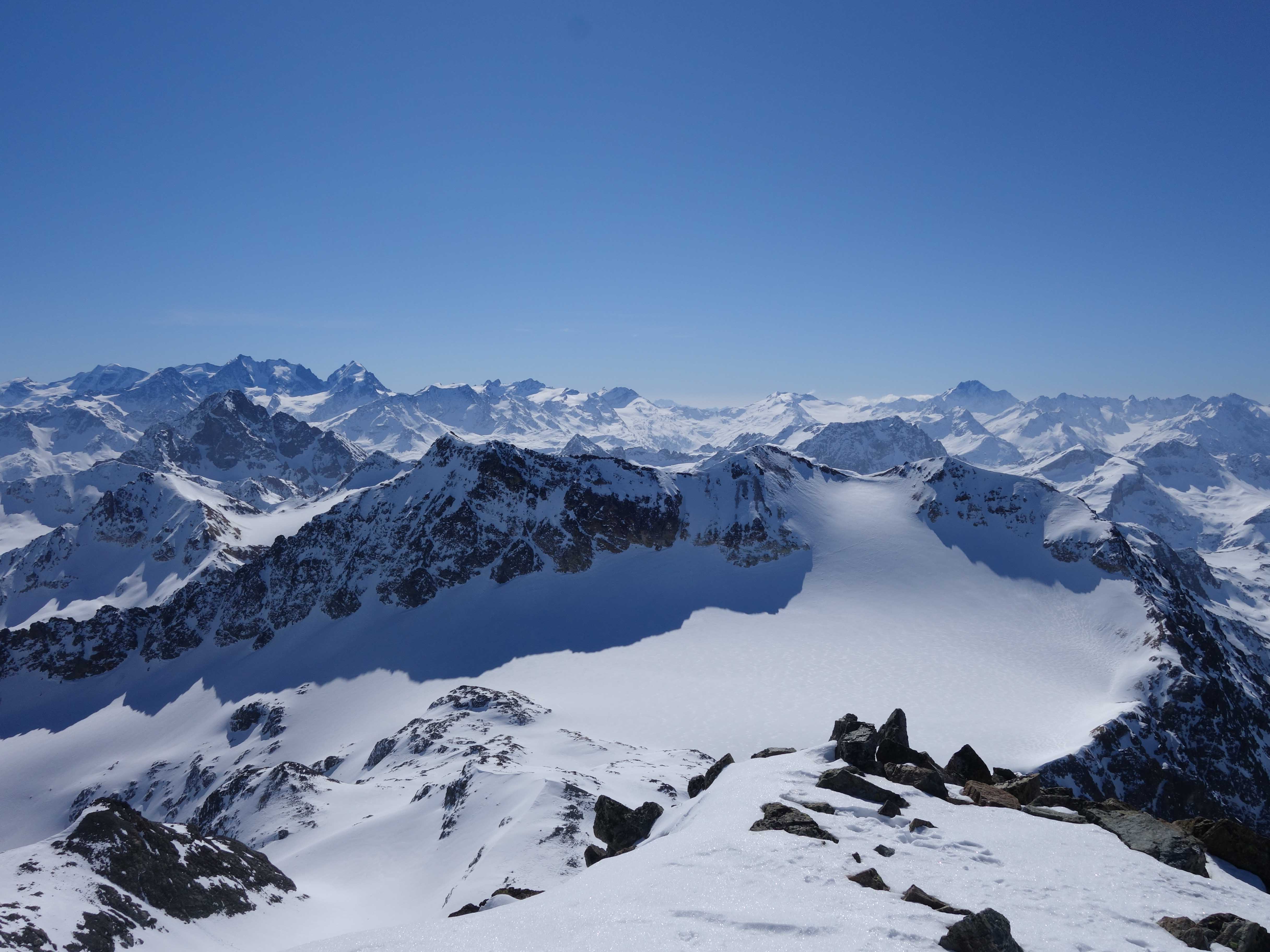
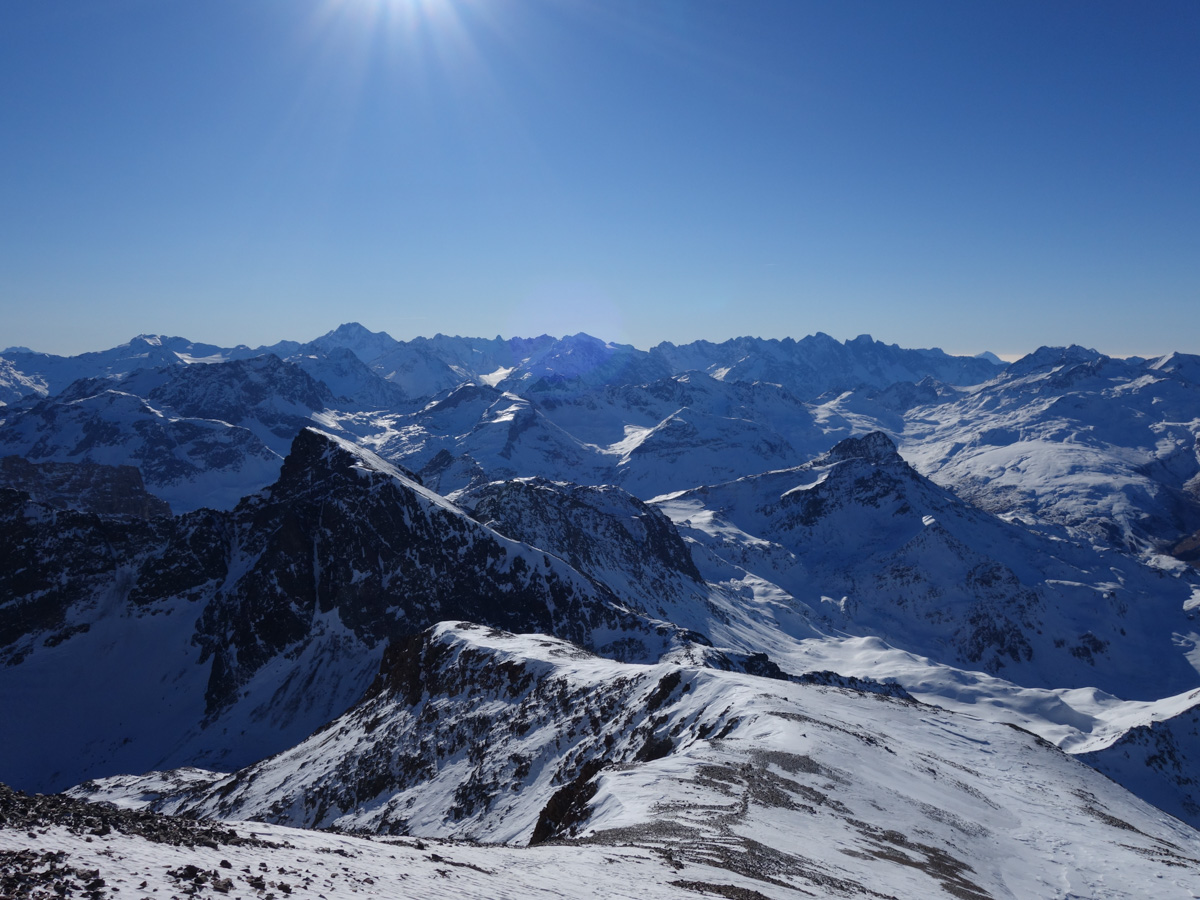
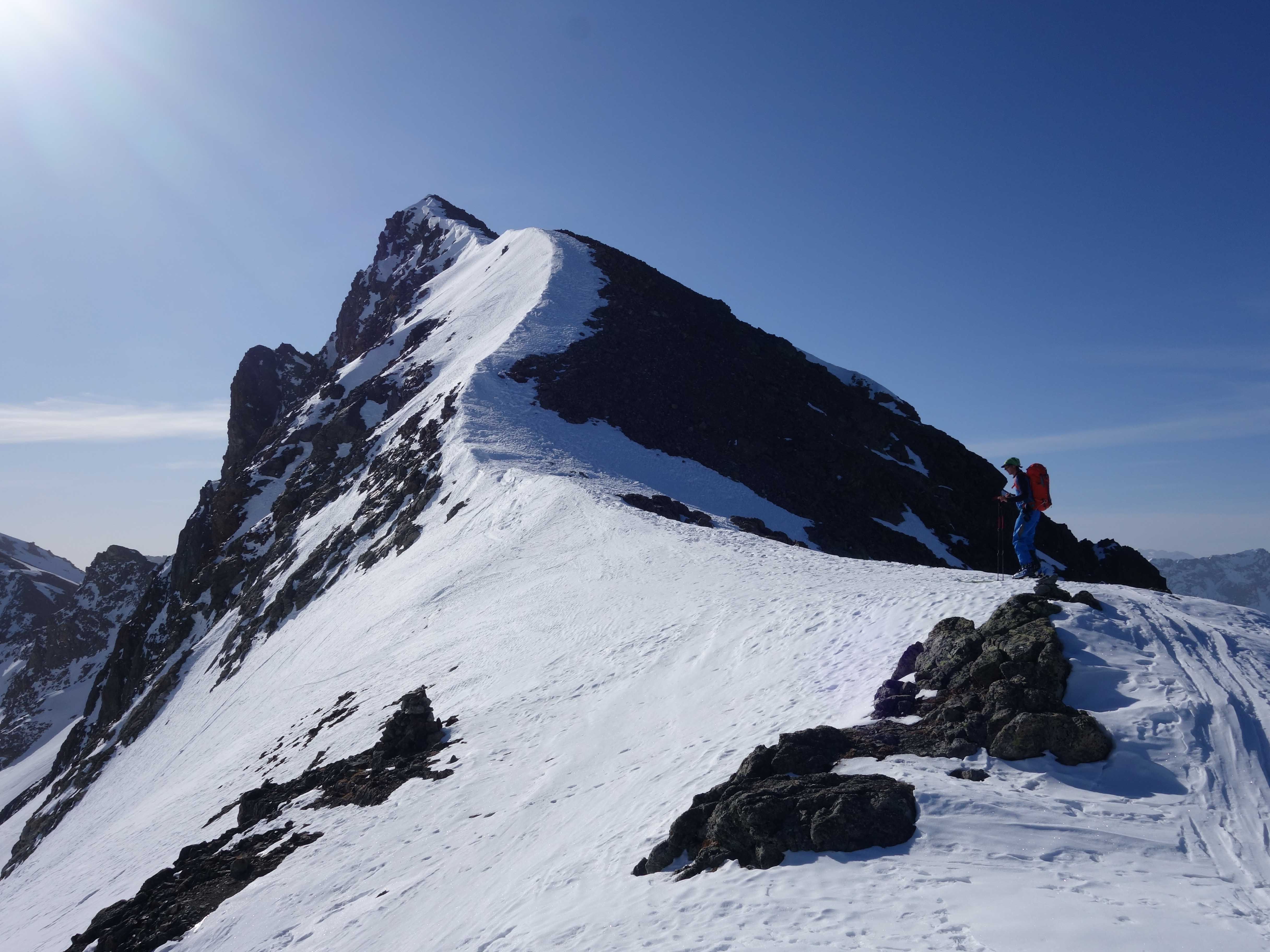
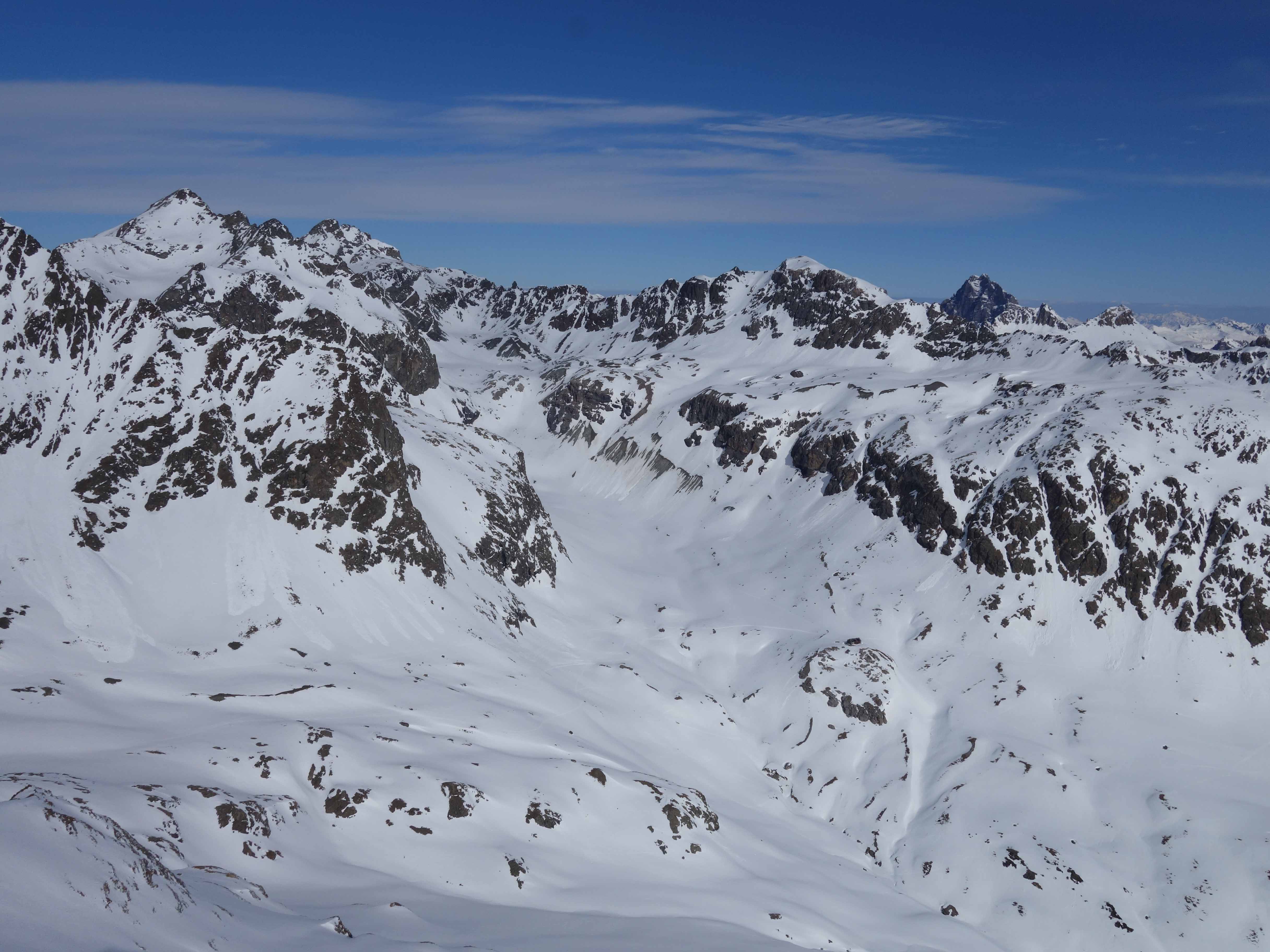
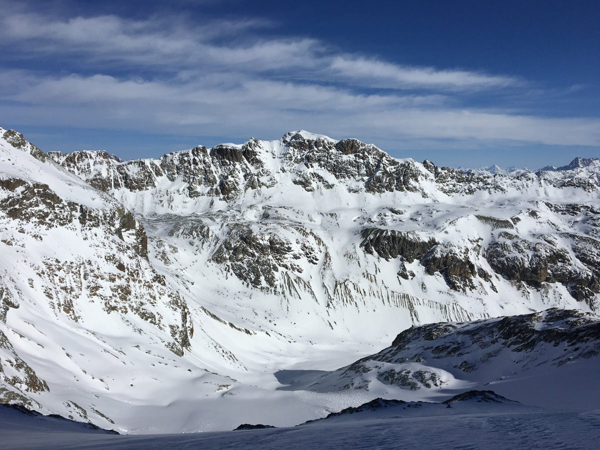
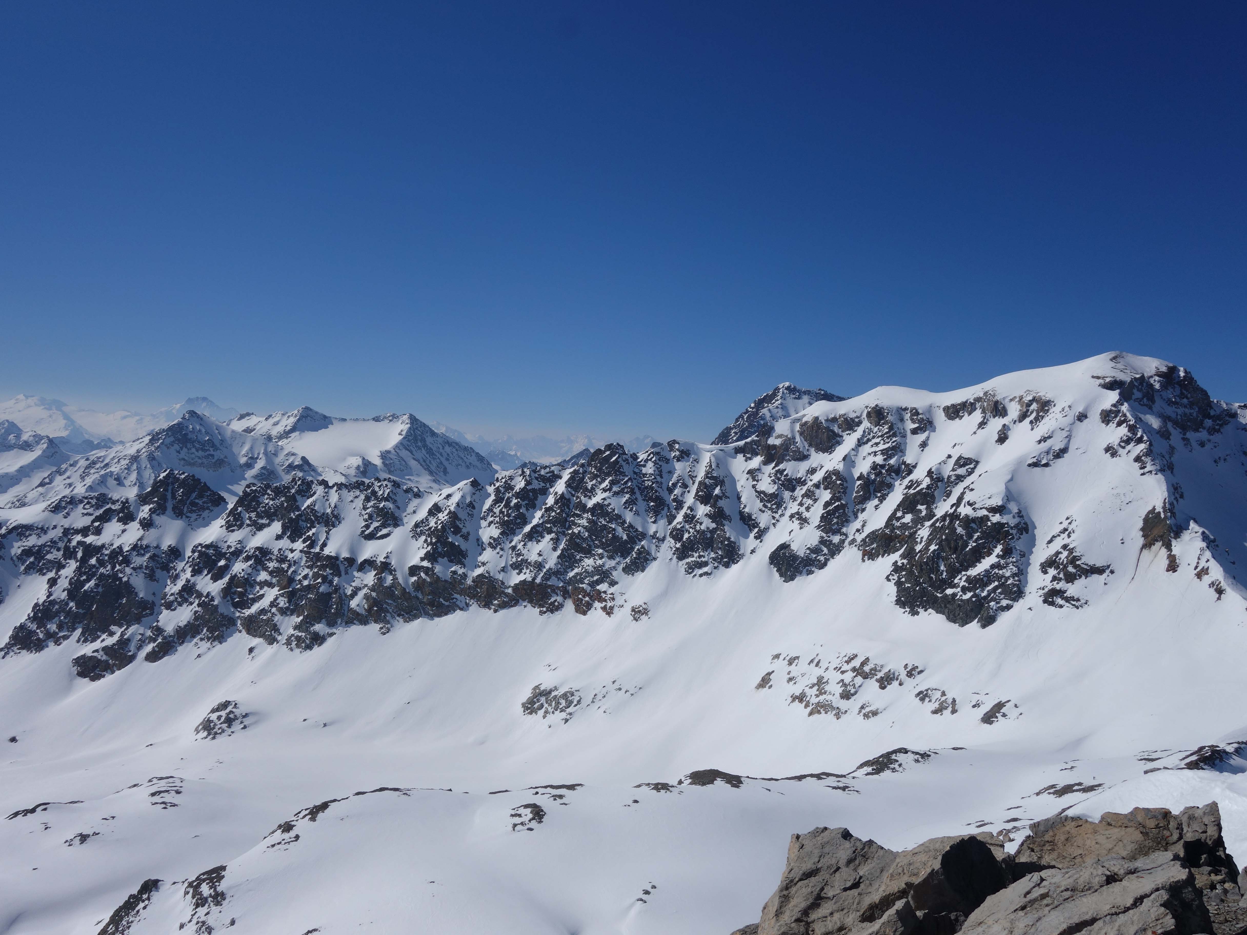
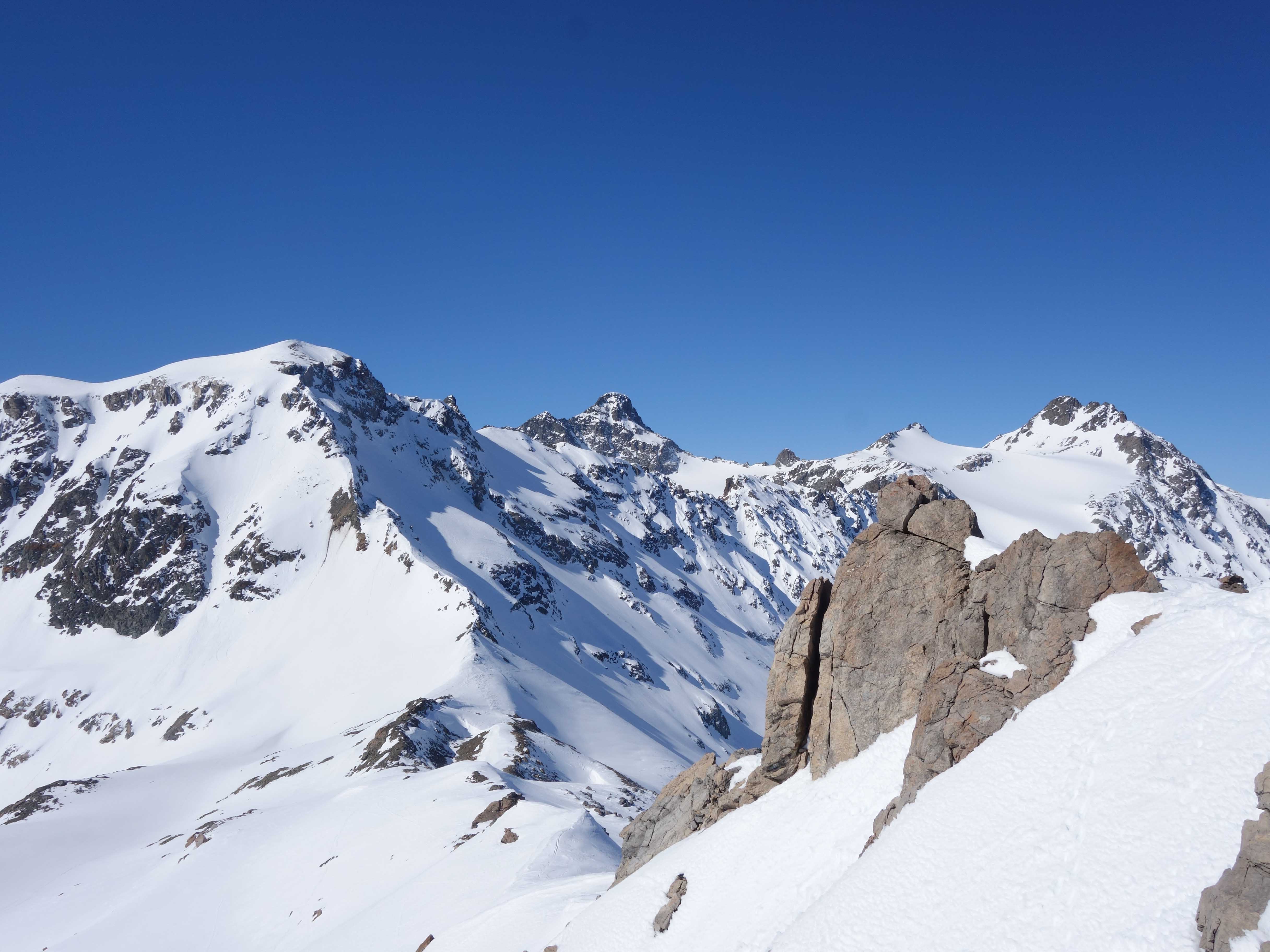
From the hut to the northwest following the valley and then climb the Vadret Calderas on the left. Avoid the steep step in a left-hand bend below the flank of Piz Picuogl. If there is little snow, the traverse under the flank can be icy. When descending and there is enough snow, the direct, steeper variant can also be selected.

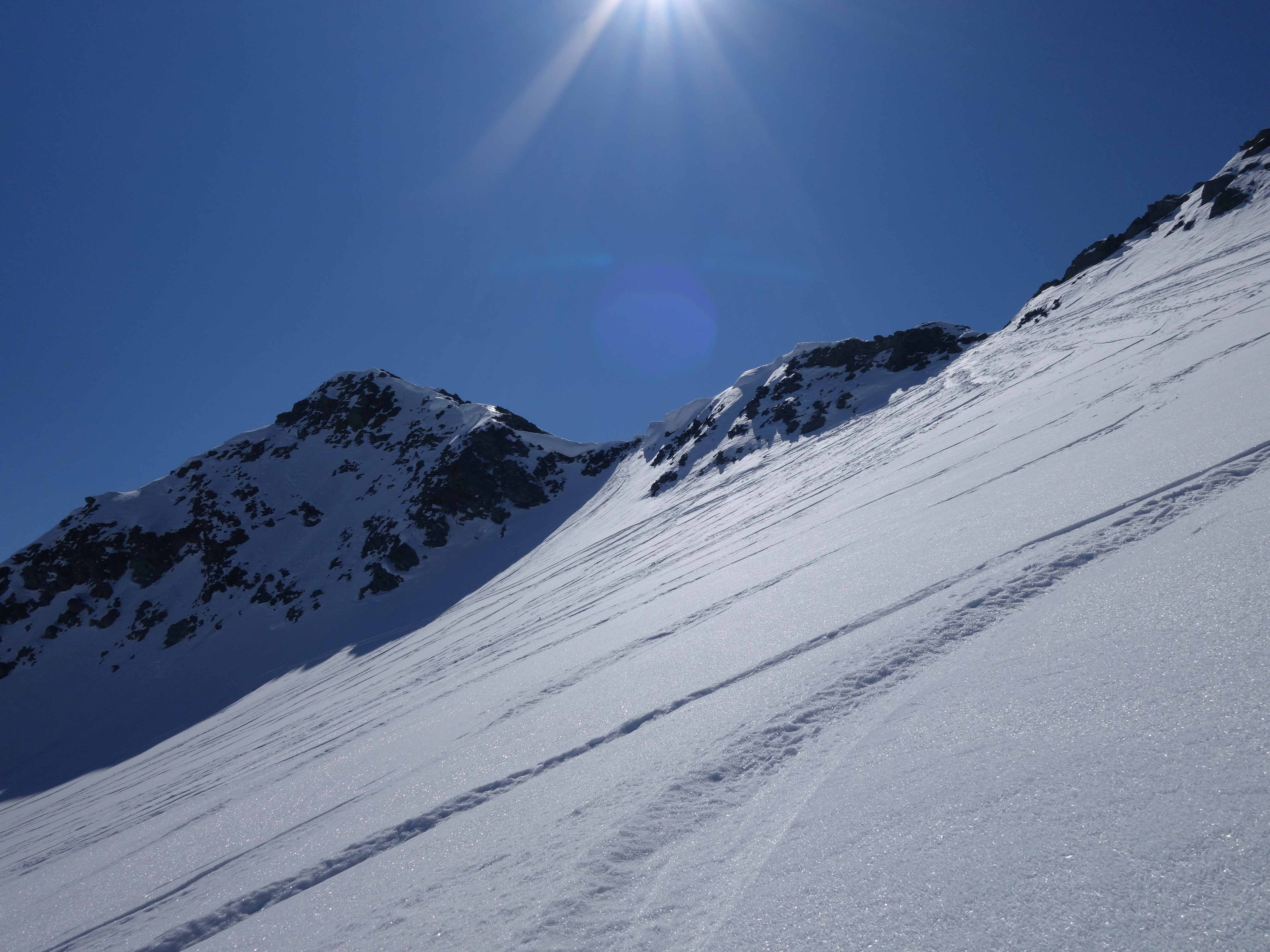
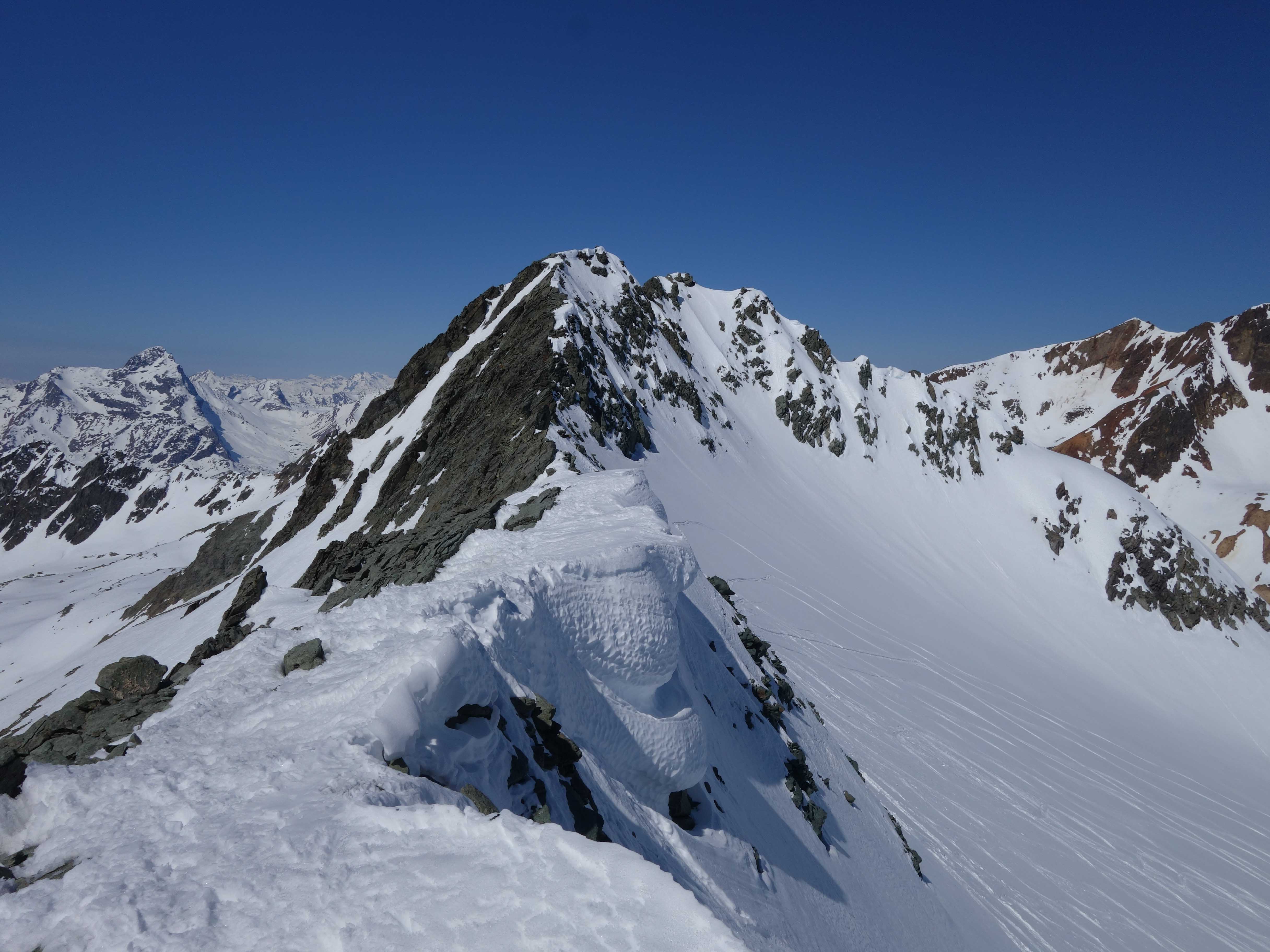
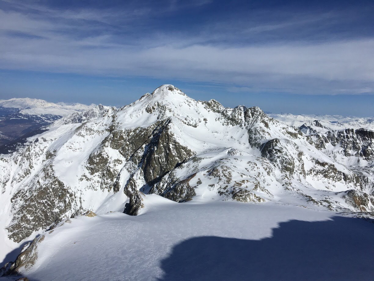
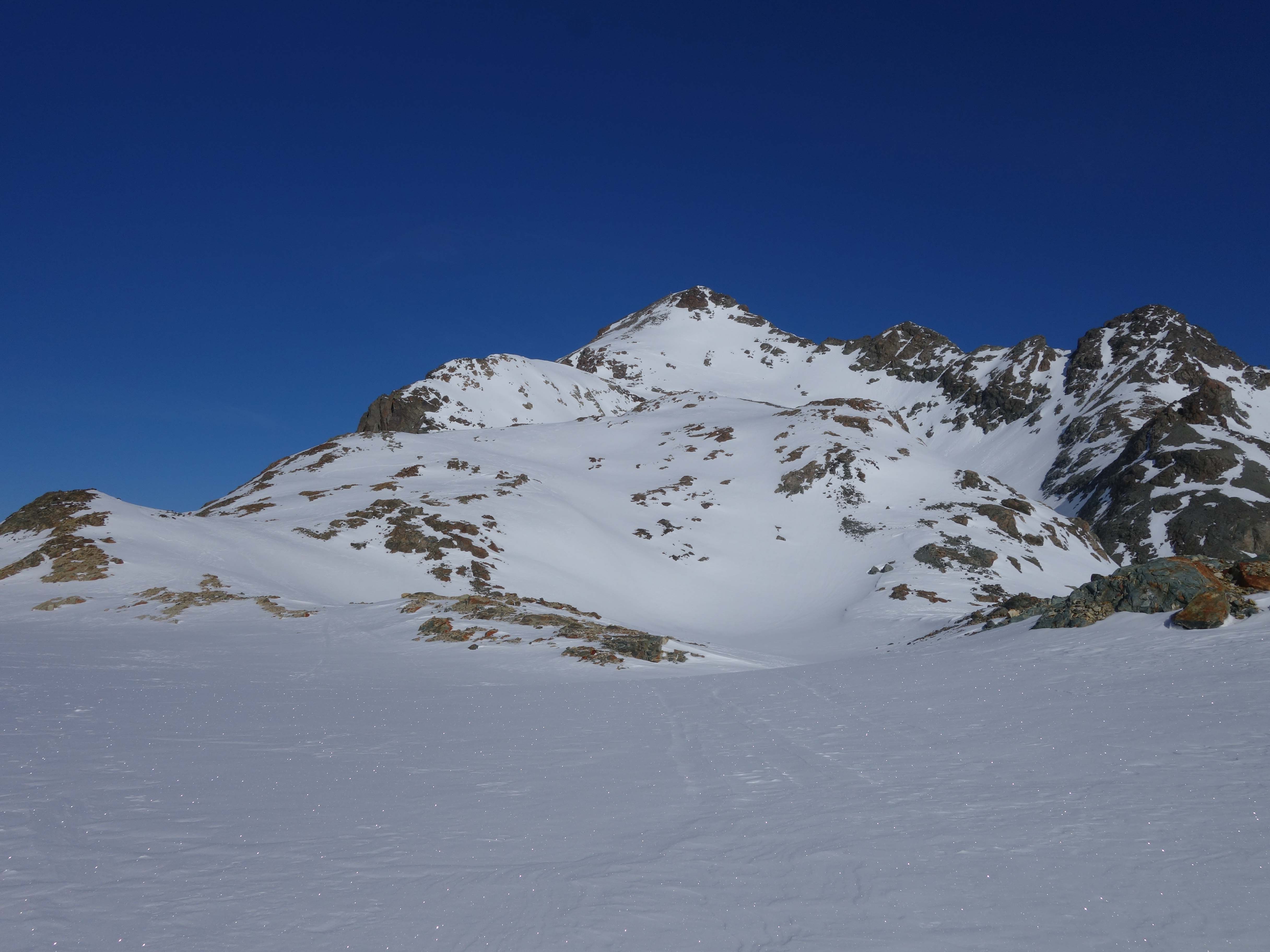
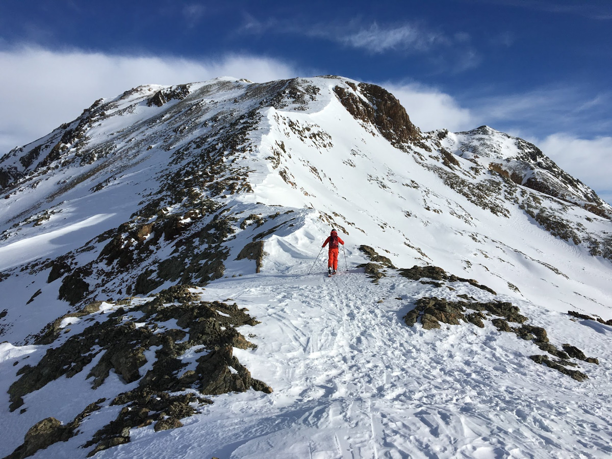
After the steep step you reach the glacier plateau and turn north, pass point 3166 and over the steeper flank to the summit.

Tschima da Flix, 3301 m, via Fuorcla da Flix

Easy to reach summit with a surprising nice view compared to the easy ascend, can be done as a round trip form Chamanna Jenatsch.

From Jenatsch hut:
Ascent: 650 m
Time: 2 - 2.5 h
Difficulty: PD

If the conditions are safe, you cross from the hut along the summer path to the glacier foreland of the Vadret d’Agnel. Otherwise short descent and counter climb to the Vadret d'Agnel (see approach Julier Pass).
From the glacier lake to the Fuorcla da Flix and easy over the south ridge to the summit.

Tschima da Flix, 3301 m, via Vadret Calderas

Easy to reach summit with a surprising nice view compared to the easy ascend, can be done as a round trip form Chamanna Jenatsch.

Im Herbst 2022 haben sich einige grosse Spalte gebildet im Aufstieg zur Tschima da Flix. Stand Februar 2023: Die Spalten sind teilweise eingeschneit, aber noch sichtbar (siehe Fotos).

From Jenatsch hut:
Ascent: 650 m
Time: 2.5 h
Difficulty: PD

In the same way as to Piz Calderas to the glacier plateau of Vadret Calderas. From there over the north slope to a small pass. The last meters to the summit are done on foot, depending on the conditions.

Piz d’Agnel, 3204 m

The Piz d’Agnel with its steep rock faces can be reached quite easily from the Fuorcla da Flix and can be combined with the Tschima da Flix.

From Jenatsch hut:
Ascent: 600 m
Time: 2 - 2.5 h
Difficulty: PD+

Until Fuorcla da Flix, take the same route as to Tschima da Flix. From here moderately steep and slightly exposed to the summit. Depending the conditions with skis or by foot.

Piz d’Err, 3378 m

Great view from the second highest peak in the region. Safe conditions are required and crampons are necessary for the summit.

Ascent: 750 m

Dauer: 3 h
Difficulty: PD+

From the hut to NW and over a steep step up to the Vadret d’Err. Climb up (steep end of the glacier) to the glacier plateau and continue in a northerly direction. Pass right of point 3308 and traverse over the glacier to the foot of the summit rock. Pass the eastern slopes and from there climb a steep snow couloir into a saddle. Follow the north right to the summit (by foot).
Depending on the conditions and the time of year, other variations to the summit are also possible, see summer tours.

Traunter Ovas, 3152 m (Val Bever loop)

The Traunter Ovas can be combined well with the Val Bever loop. The round trip is also worthwhile without climbing the summit, on days when higher peaks are not possible due to weather and avalanche reasons.

Ascent: 600 m
Time: 2 h
Difficulty: PD

From the hut follow the same route as to Piz Surgonda up to the glacier plateau. Keep left here and climb over the short western slope to the summit. If you want to do the round tour, you drive to Fuorcla Traunter Ovas and from there to the upper Val Bever and with a counter climb (approx. 200 m) back to the hut.

Piz Jenatsch, 3250 m

Nice panoramic view of the Jenatsch area. Steep climb from both sides.

Ascent: 600 m
Time: 2 - 2.5 h
Schwierigkeit: ZS via Furocla Laviner / S- Südcouloir

There is two ascents to the Piz Jenatsch.

South ascent: From the hut to NW, climb into the glacier lake of the Vadret d’Err and past point 2958 to a steep snow couloir. Climb this on foot to the west ridge and along this to the summit.

North ascent: traverse the steep slopes around point 2671 behind the hut and climb to point 2715. Continue in the direction of Fuorcla Laviner and on the left side of the northwest ridge steep first with the skis and then on foot to the summit.

Piz Laviner

The Piz Laviner is mostly combined with the descent through the Val Mulix to Preda and thus as part of the Bündner Haute Route.

Ascent: 500 m
Time: 2.5 h
Difficulty: AD-

Desent to Naz / Preda: PD+

From the hut traverse the steep slopes around point 2671 and past point 2715 up the glacier depression to below the Fuorcla Laviner. Cross the southern flank of Piz Laviner, climb a snow couloir to the southwest ridge and continuer over some rock steps to the summit.